Views of pedestrians and cyclists:
Nature:
Boat houses and the marina:
|
|
|
Views of pedestrians and cyclists: Nature: Boat houses and the marina:
0 Comments
Those are my photos took in my visits. I decided to uploud them, as a way to archive, and I divided them into albums. The first one, below, the trade centers: The housings: Paths and Links: One of the things that most interested me about the Canal is its use for the city. In Brazil, usually, houses do not face streams, canals or even rivers. This phenomenon most happens in urban cities. As a cyclic event, the houses do not face the water courses because they are already polluted and those water courses became or continue to be polluted because they are not faced - so they became dumps. The fact that there is a beautiful and reasonable clean Canal in Nottingham it was a pleasent suprise because this area it`s not a strong turistic reference. I thought that this place is used by the citizens daily. I noticed, of course, that there is still a little bit of degradation, but as it`s possible to compare with this brazilian picture, it`s really far from a bad situation. So, As it was proposed by my tutor, I identified the users of the canal: I really like photos and, as my focus in this research is the uses of the canal I think the "visual" use is quite a good one to be explored. Of course, some of the photos may show much more than this. When searching about the canal and the railway I found this great website called Lenton Times Magazine that reunited some old photos that are reproduced below. References:
All photos: The Lenton Times Magazine - http://www.lentontimes.co.uk/streets/nottingham_canal.htm - Consulted 09/10/2014 Today I had the chance to take a look at the digimap library. It`s an amazing content. The ancient collection presents maps from 1880 until 1990s. I reunited them below to illustrate the sequence uses of the Canal. The first railways arrived in the 1840s and the use of the canal changed a lot. We can also notice that the northern part, a residential area, do not change during this years. Clique aqui para editar.
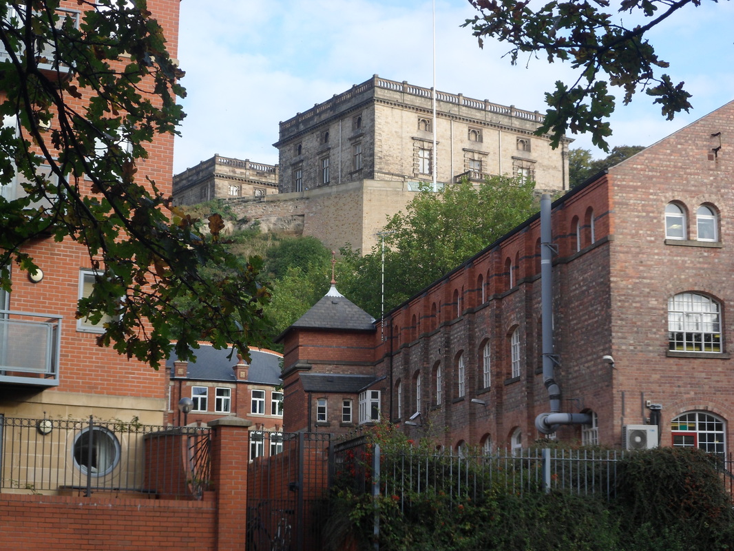
After a meeting with my tutor, I am starnting to know more about the site's history. So I decided to do a little research about Nottingham, in order to make me more close to the city. Below we have the exacly place of research, that it is the Nottingham`s Canal. According to Wikipedia, Nottingham Canal was opened in 1796 `and most of it was closed in 1937`. Nowadays, the northern part it is a nature reserve and the southern it is a part of River Trent Navigation. The creation of the Canal lead us to one of its first uses, a route. According to Wikipedia, `the canal would begin at the Cromford Canal, just north of its junction with the Erewash, and proceed to the Trent at Nottingham with a branch to the river at Lenton.` Once it was built, the canal was a route for shipments of building material, coal and agricultural tools. References:
Satellite Images: Google Earth - Acessed 09/10/2014 Old Maps and Plans of Nottingham: View of Nottingham from the east, c.1709. - Nottinghamshire history in http://www.nottshistory.org.uk/Brown1896/nottingham1.htm. Acessed 09/10/2014 Later map (by Salmon in 1862) showing early stages of development of the Park Estate - Maps Matter in http://sk53-osm.blogspot.co.uk/2013/10/openstreetmap-at-public-inquiry.html. Acessed 09/10/2014 Nottingham, 1885. Maps used: Nottingham (Southern) and Nottingham (Northern) availabe in England: County maps in http://www.londonancestor.com/maps/maps-england.htm. Acessed: 08/10/2014 The first time we went to the project site it was 2nd October. As I arrived 21st September in Nottingham and the next days was really full and hush, I wasn`t able to know and explore the city. I think that`s why the project site seemed so beautiful for me. For this first time, I thought it is a very quiet and calm place, with amazing views of important historical references in the site. Also, it is a pleasant connection with nature, which also provides for those who pass or live nearby great views. It is used as a passage, a connection, for cyclists and pedestrians. |